The history of okara
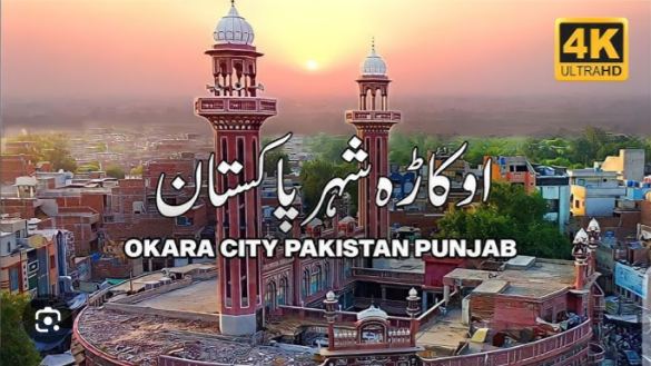
Okara, located 120 km from Lahore along the GT Road, is a vibrant, predominantly agricultural city. Originally a dense forest of Okaan trees, the city was systematically planned by the British Raj. It officially became an independent district in 1982 and is now famous as Pakistan’s “Milk L
Ancient & Mughal Eras
Ancient Roots:
: The region’s history ties back to Alexander the Great’s expedition, as historians note the area was held by the ‘Kathaens’—likely ancestors of the local ‘Kathia’ tribe.
Rule & Culture:
It was subsequently ruled by the Mauryan, Kushan, and Mughal empires. Prominent towns in the district, like Depalpur, are incredibly ancient.
The British Raj
City Foundation:
: The modern city was established in the 19th and early 20th centuries on a site previously covered by a jungle of Okaan wild plants, which is how Okara got its name.
Town Planning:
: Under British rule, it was formally developed in six organized blocks. It became a Tehsil Headquarters in 1918 following the completion of a major canal irrigation network.
Partition & Modern History
Industrial Hub:
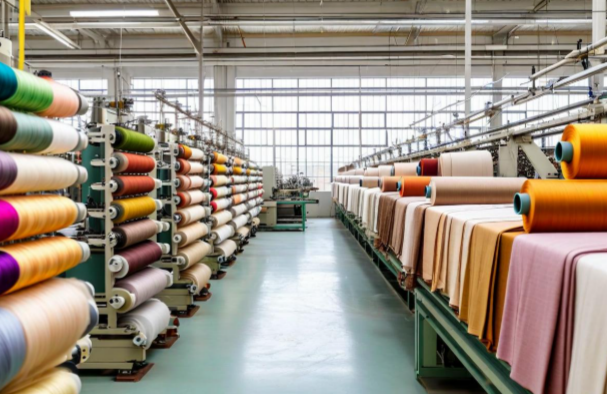
At the time of Partition, Okara housed what was Asia’s largest textile mill, the Sutlej Textile Mill.
Livestock & Dairies:
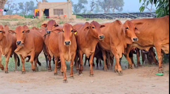
: Post-Partition, the region continued to grow, eventually being carved out of the Sahiwal District to become its own administrative district on July 1, 1982. It is nationally renowned for the indigenous Sahiwal cow and Nili-Ravi buffalo.
Urban Infrastructure and Expansion
The Twin Hubs:
: Modern Okara stretches along the vital N-5 National Highway (Multan Road), linking it directly to Lahore and Faisalabad. Growth has expanded past the historical “six-block” British core, developing highly popular modern residential schemes like Canal View, Citi Housing, and Al-Kabir Town
Connectivity:
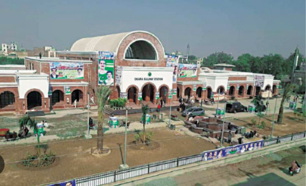
The fully modernized Okara Railway Station serves as a vital transit hub on the main Karachi–Peshawar Line